Waypoint
Trail wayfinding starts with a map with trails clearly identified. The map is supported with guide signs at each intersection that indicates where a user is and where each trail leads to (from each direction of approach) The third component is the addition of waypoints.
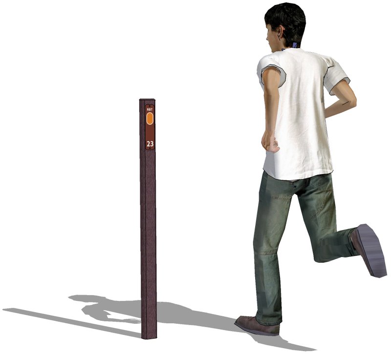
The Terrabilt waypoint was designed to work in conjunction with recreation trail maps and bike trail maps to identify one-tenth mile or one-quarter mile increments along a trail. These correspond to the same location marking on a trail map with trails color coded and named.
This custom manufactured HDPE post was designed to receive a 2”x 9” panel with applied unique retroreflective graphic secured on each side of the post. This graphic may include trail name or abbreviation of name, a color specific to that trail on the map and distance point as it corresponds to the map.
Were implemented, this approach has been a successful beyond expectations. The seniors (over 55) love the clear trail guidance that codes each trail with legend describing the way back to the trailhead. The waypoints provide security as there is no question of their location should they need assistance. The runners and walkers can plan a distance with the 1/10 markers that combine different trail segments and allow them to clock their performance. Essentially a great sample of universal design providing security for one and timing marks for another in a discrete package.
Features:
- Terrabilt
assists trail planners on use waypoints and helps create production artwork for
printing with color, trail name and increment.
- Retroreflective lozenge panels are printed on 3M sheeting with 3M inks and UV
resistant over-laminate.
- Waypoints
are mounted by direct embedment with sub grade stabilizer panel (provided).
- Post will
not rot, leech or off-gas. Posts will
not need painting or refinishing (rated for 50 years).
